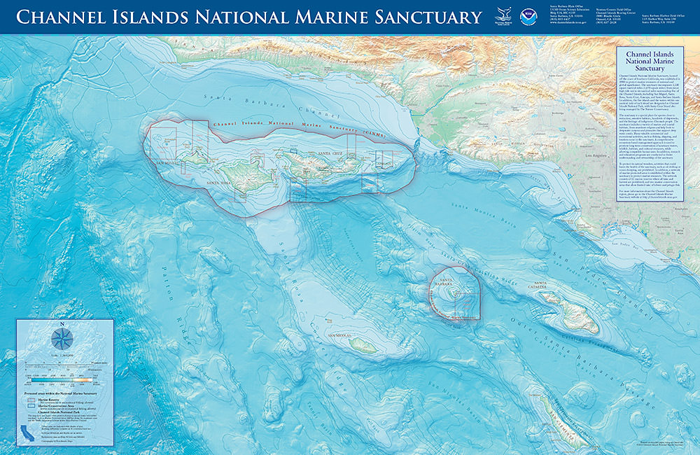
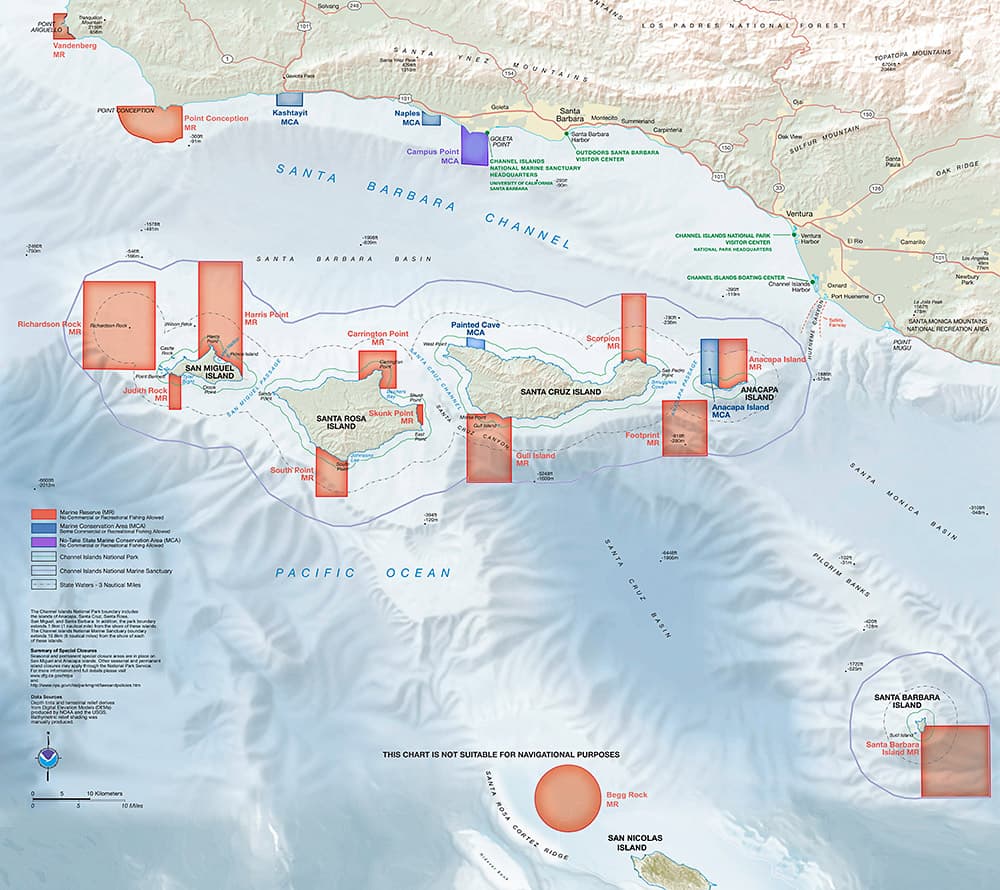
Popular sanctuary maps are provided here for view or download.
If you're looking for some sanctuary photos or videos, head over to our multimedia page or our media resources page.

Channel Islands National Marine Sanctuary protects 1,470 square miles of ocean waters around the Northern Channel Islands: Anacapa, Santa Cruz, Santa Rosa, San Miguel, and Santa Barbara islands. A special place for endangered species, sensitive habitats, historic shipwrecks, and cultural resources, the sanctuary provides protection through research, education, conservation, and stewardship.

Thirteen Marine Protection Areas (MPAs) were established in the Channel Islands National Marine Sanctuary by the California State Fish and Wildlife Commission and NOAA in 2003 and 2007. The 13 MPAs form a network that covers approximately 240 square nautical miles and 21% of sanctuary waters. In 2012, the California State Fish and Wildlife Commission also established a network of MPAs along the Santa Barbara County mainland coast and off San Nicolas Island.